Trails
Vereda da Palha Carga (PR13.1)
A path named for an endemic grass, down to the 25 Fontes lagoon
The place
Vereda da Palha Carga is the official PR13.1, a one-way route of 1.8 km that IFCN gives about 45 minutes, from Louro da Gota, on the ER 209, to the 25 Fontes lagoon. It is nearly all downhill, between 1,328 m and 970 m. The first 100 m or so are shared with PR13 Vereda do Fanal; then a branch on the left heads for 25 Fontes.
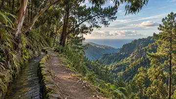
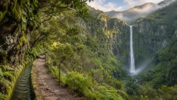
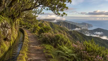
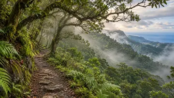
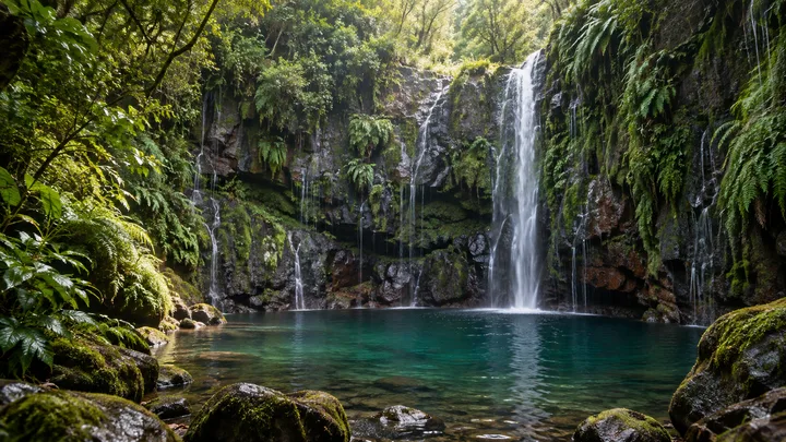
The path takes its name from palha-carga, an endemic grass that grows in the clearings and along the stream banks. Most of it crosses high-altitude heath of tree heather and uveira-da-serra, and natural viewpoints look over the Rabaçal valley and the Ribeira da Janela valley, green with laurissilva, the laurel forest UNESCO listed in 1999. After crossing the Ribeira dos Cedros, the route follows the Levada Nova do Rabaçal, the Levada das 25 Fontes, to the lagoon, a suspended aquifer classified as a geosite. From there the panel offers the way back or the levada on to Casa do Rabaçal, but IFCN's register runs PR6 one way: out from Rabaçal along the levada, and back from 25 Fontes on a section called the Bypass.
Highlights
- Palha-carga, the endemic grass that names the path, in the clearings and on the stream banks.
- High heath of tree heather and uveira-da-serra.
- Natural viewpoints over the Rabaçal and Ribeira da Janela valleys.
- The last stretch along the Levada das 25 Fontes to the lagoon, a classified geosite.
When to come
A clear day, for the views over the two valleys; the path may be slippery, so go in shoes with a good grip.
Getting there
Start on the ER 209 at Louro da Gota, where the panel map shows an information board and a leisure area. The route ends at the 25 Fontes lagoon: climb back the same way, or go on to Rabaçal on the Bypass, the section by which IFCN's register brings PR6 back from 25 Fontes. The panel lists taxis in Calheta, +351 291 822 129, and Porto Moniz, +351 291 852 243.
Worth knowing
- Booking and fee: pay through SIMplifica; €4.50 in 2026 for visitors over 12, with children 12 and under exempt.
- Distance and time: 1.8 km one way, about 45 minutes, nearly all downhill.
- Heights: between 970 m and 1,328 m.
- Difficulty: the regional government's map portal grades it easy, though its own description calls it medium; it counts 358 m of descent and 13 m of climbing.
- Caution: IFCN warns that the weather changes often, so bring warm clothes.
- Caution: the path may be slippery; wear shoes with a good grip.
- Status: open on the IFCN list on 4 November 2026; check IFCN or SIMplifica before you go.