Vereda do Galhano
From Paul da Serra's western rim down to the Ribeira da Janela levada
- Distance5.5 km · one way
- Time≈ 3 hr, 30 minEstimated from the route and the 5 m survey
- Climb↑ 880 m
- DifficultyModerate
- From Funchal≈ 1 hr by carRoughly, by car from the middle of Funchal
Sources (2)
The place
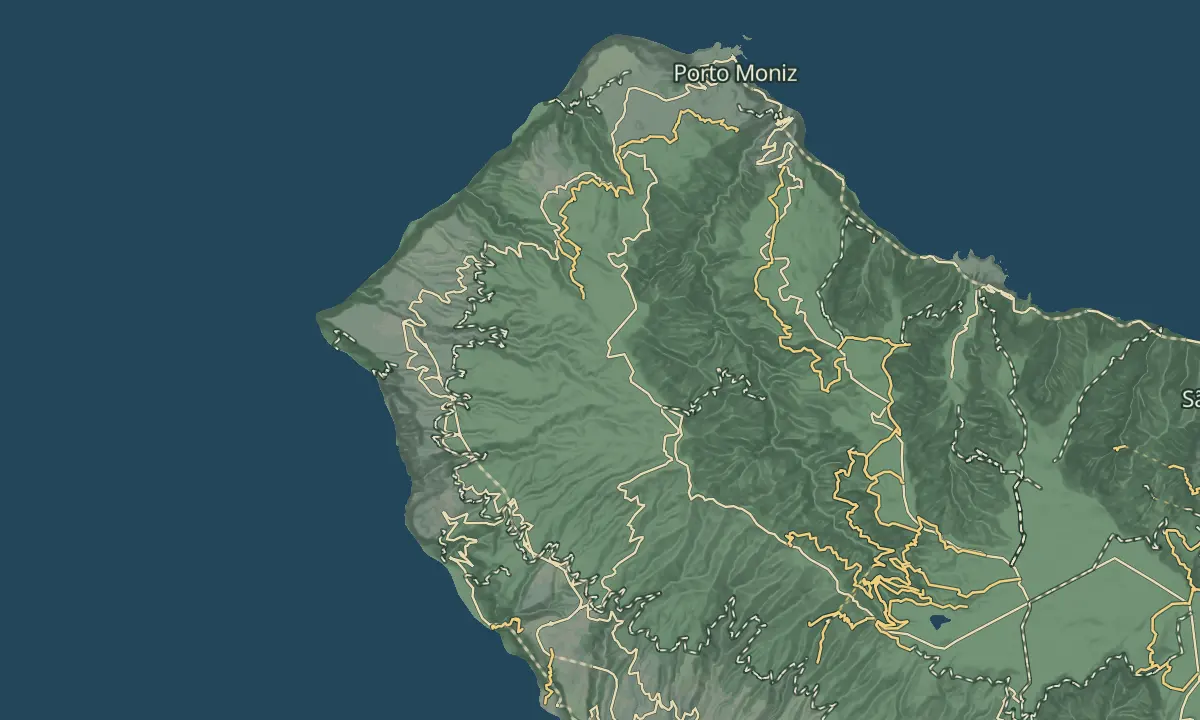
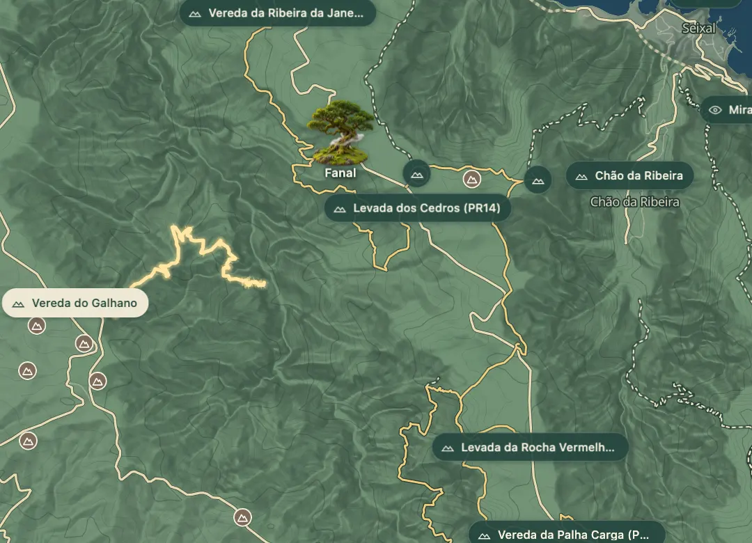
The Vereda do Galhano drops from the western edge of the Paul da Serra plateau to the Levada da Ribeira da Janela. It starts at the Galhano signpost near Pico da Fonte do Bispo, where the roads from Paul da Serra meet, at about 1,240 m, and descends about 880 m in 5.5 km.
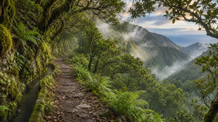
The first part is a wide dirt road through tree heath, with the Atlantic in view. At about 560 m it becomes a forest path of log steps, very steep and usually damp, down into the Laurissilva, crossing streams on the way. At the bottom the levada leads right for about 3 km to its source, through three tunnels, or left for about 12 km to Lamaceiros, through longer tunnels, one of about 1.2 km; waterfalls fall across the levada, and some you pass beneath. The whole route to Lamaceiros is a full day of 7 to 8 hours.
When to come
A dry spell; the log steps are slippery when damp, and the levada's waterfalls soak walkers after rain.
Getting there
Start at the Galhano signpost near Pico da Fonte do Bispo, where the ER 105 and ER 210 meet on Paul da Serra; there is no road at the bottom, so climb back or continue along the levada to Lamaceiros, with transport waiting there.
Highlights
- Tree heath and Atlantic views on the dirt road down from the plateau.
- Log steps through Laurissilva forest on the steep lower half.
- The Levada da Ribeira da Janela at the bottom, towards its source or Lamaceiros.
- Waterfalls along the levada, some of which the path passes below.
The walk, start to finish
Before you go
Safety
Difficulty: moderate on the vereda itself; the full route to Lamaceiros is rated high, with a medium rating for vertigo.
Bring
Tunnels: bring a torch if you continue along the levada; one tunnel towards Lamaceiros is about 1.2 km long.
Footwear: boots with a good grip for the damp log steps.
Worth knowing
Distance and time: about 5.5 km one way down to the levada; about three and a half hours back up.
Climb: about 880 m between the plateau and the levada.
Fee: none; this is not an official PR trail.