- Distance8 km · there and back
- Time2 hr, 30 min
- Climb↑ 300 m
- DifficultyModerate
- From Funchal≈ 35 min by carRoughly, by car from the middle of Funchal
- Bus stop 130 m
- Parking 130 m
- Toilets 160 m
Sources (2)
The place
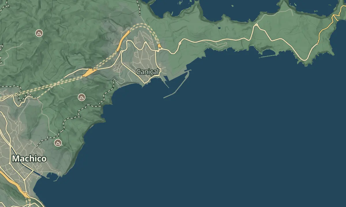
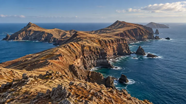
Ponta de São Lourenço is a bare volcanic peninsula running east into the Atlantic, with red and ochre cliffs, no trees and the sea on both sides. The walk follows the spine of the peninsula from Baía d'Abra to Casa do Sardinha at the far end, and the landscape looks nothing like the rest of Madeira. It is the dry end of the island, and that is exactly why people walk it.
There is nothing to shelter behind. The route has no shade and little protection at the cliff edges, the wind can be strong, and the walk is best skipped on windy days. In return you get dry, open ground and a swim at the far end when the sea is calm.
When to come
Early morning or the last two hours of light. The route has almost no shade, and midday in summer is hard going.
Getting there
Drive to the Baía d'Abra car park, where the walk starts, and walk the 4 km one way to Casa do Sardinha.
Highlights
- Red and ochre cliffs and bare volcanic rock, with the sea visible on both sides of the peninsula.
- The swim spot at the far end of the walk, when the sea is calm.
- The coast walk from Baía d'Abra, where the trail starts and parking is free.
The walk, start to finish
Before you go
Safety
The cliff edges have little protection, and the rock can be crumbly, so keep well back from the edge.
Skip the walk on windy days: the wind is strong and the exposed stretches can be unpleasant and unsafe.
Bring
There is no shade on the route, so take plenty of water, sun protection and a hat.
Worth knowing
The route is 4 km one way, 8 km return, and takes about 2.5 hours; it is rated moderate.
The walk stays between 23 m and 126 m above the sea.
Booking through SIMplifica is required, at €4.50 per adult in 2026; children 12 and under go free, and Madeira residents pay nothing but still reserve.
The trail is restricted in places, with signed temporary detours; follow the signs and check the status before you go.
Parking at Baía d'Abra is free and fills by mid-morning, so arrive early.