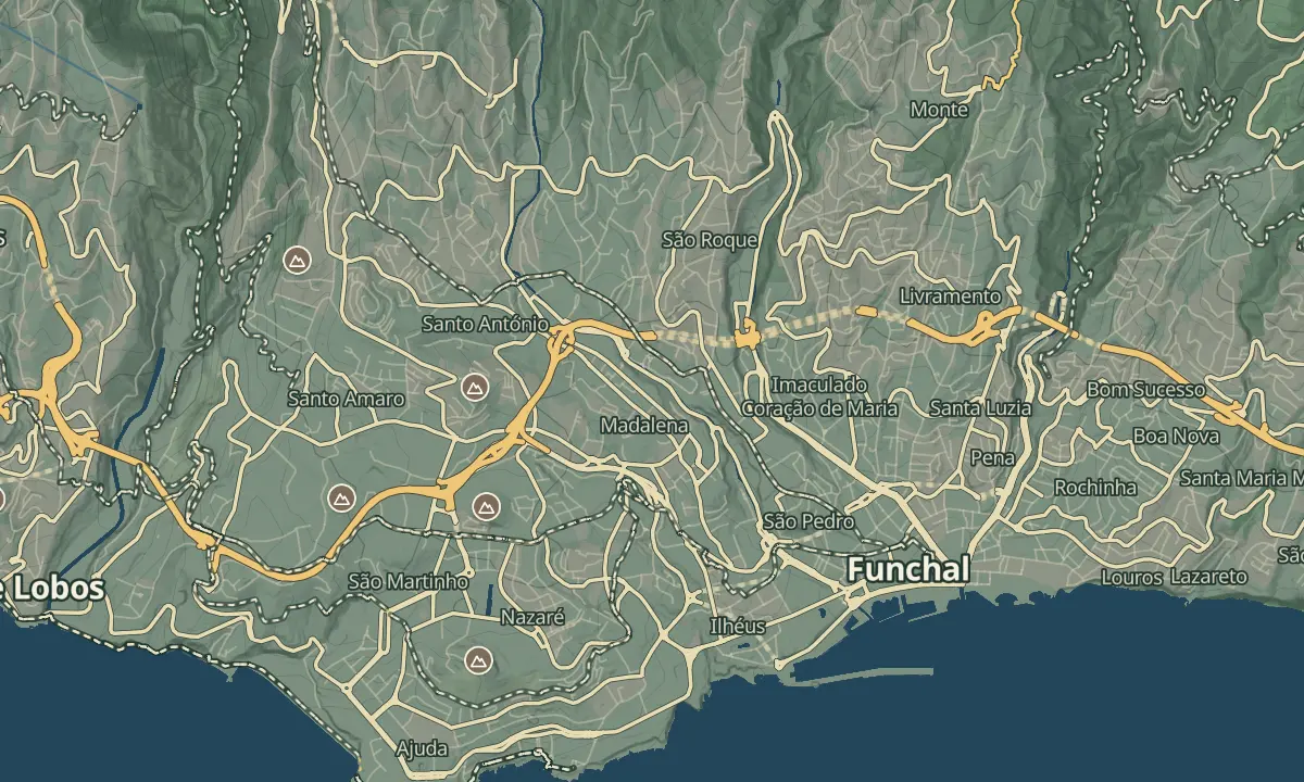
Pico dos Barcelos
355m neighborhood viewpoint over Funchal's rooftops, harbor and Desertas islands
- Height above the sea355 m
- From Funchal≈ 10 min by carRoughly, by car from the middle of Funchal
- Parking80 m
- Café40 m
- ToiletsOn site
- Bus stop 150 m
Sources (1)
The place
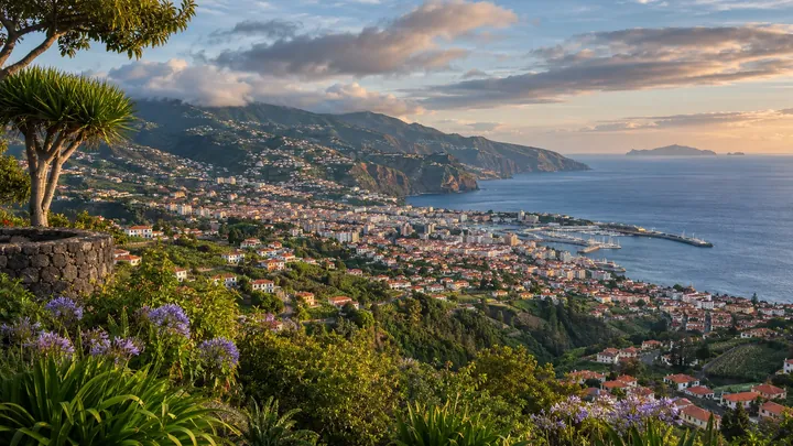
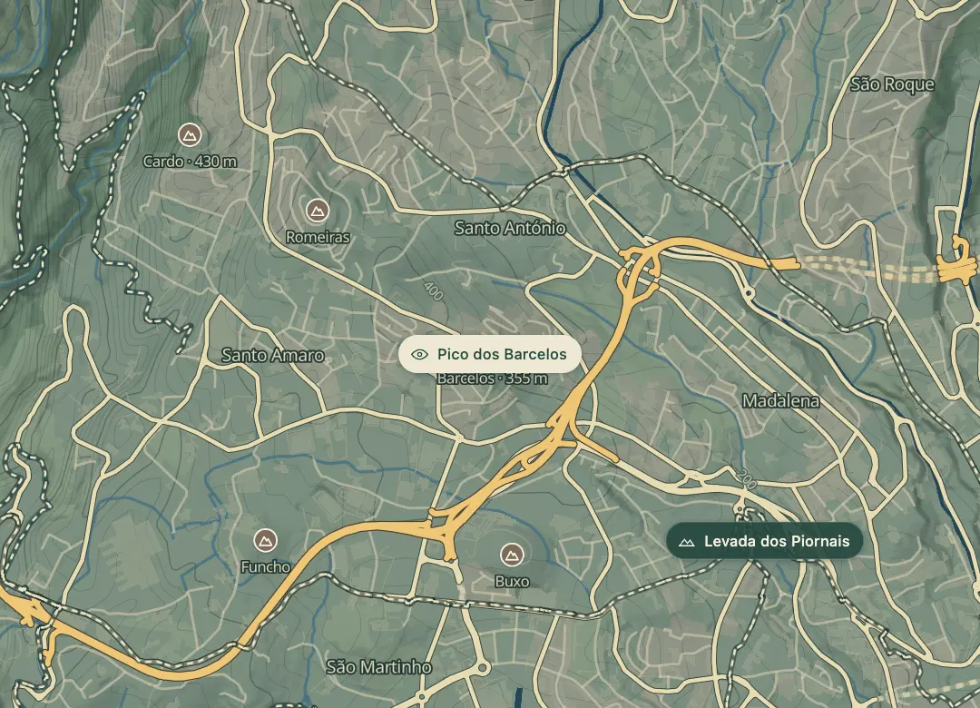
Pico dos Barcelos is a viewpoint at about 355 m in the Santo António parish, a short climb above central Funchal. From the terrace the city spreads out below, with the harbour, the bay and the open Atlantic beyond.
On a clear day the Desertas Islands show offshore, with Ilhéu Chão, Deserta Grande and Bugio in view. There is no entry charge, and eateries and shops selling local goods and crafts are close by, so the stop can be a snack, a souvenir and a view in one. The view covers the whole city in one sweep, from the old town to the eastern hills, which makes it the easiest way to get your bearings. A jacket helps at the top, where the breeze can be fresh even on a warm day.
When to come
On a clear day, when the Desertas Islands are visible offshore.
Getting there
Take a bus or taxi up from central Funchal to the lookout in the Santo António parish.
Highlights
- The city, the harbour and the bay laid out below, with the open Atlantic beyond.
- The Desertas Islands offshore on clear days: Ilhéu Chão, Deserta Grande and Bugio.
- Eateries and craft shops close to the lookout.
The view from here
Looking E
The horizon all round, measured on the island’s terrain. In sight: Prado (1,280 m · 4.8 km, N); Esteias (1,343 m · 5.4 km, N); Pedras (1,198 m · 4.5 km, N); Alto (1,129 m · 5.1 km, NE); Infante (944 m · 6.5 km, E); Cabeço da Cancela (508 m · 7.1 km, E); Cabeço dos Pernais (414 m · 7.4 km, E); Desertas (44 km, E); Buxo (282 m · 0.8 km, S); Cruz (260 m · 1.8 km, S); Grande (1,654 m · 9.8 km, NW); Volta da Malhada (774 m · 3 km, N).
Measured on the island’s terrain: what no nearer ridge hides · drag to look round
The light here today
- Sunrise
- —
- Sunset
- —
- Golden hour
- —
The view from here
What you see from here
Peaks, places and islands in sight from this spot, by the way they lie. The islands show on a clear day.
- NPrado1,280 m · 4.8 km
- NEsteias1,343 m · 5.4 km
- NPedras1,198 m · 4.5 km
- NEAlto1,129 m · 5.1 km
- EInfante944 m · 6.5 km
- ECabeço da Cancela508 m · 7.1 km
- ECabeço dos Pernais414 m · 7.4 km
- EDesertas44 km
- SBuxo282 m · 0.8 km
- SCruz260 m · 1.8 km
- NWGrande1,654 m · 9.8 km
- NVolta da Malhada774 m · 3 km
Before you go
Bring
Eateries and shops selling local goods and crafts are close by, so you can buy a snack or a gift.
Bring a jacket: the breeze at the top can be fresh even on a warm day.
Worth knowing
There is no entry charge to the viewpoint.
Visit on a clear morning or late afternoon for the clearest views over the bay.
Walk back into the centre afterwards, or take the bus, since the streets are steep.