Farol da Ponta do Pargo
Madeira's westernmost lighthouse, on a 290 m cliff, with the island's best sunsets.
- Height above the sea290 m
- From Funchal≈ 1 hr by carRoughly, by car from the middle of Funchal
- Parking30 m
Sources (2)
The place
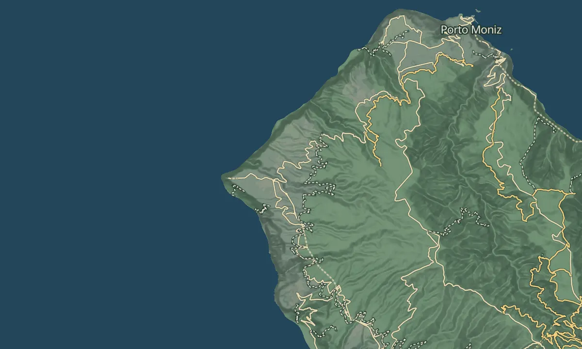
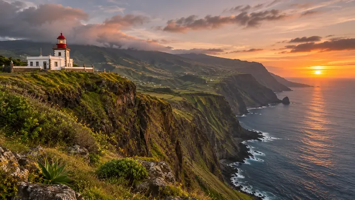
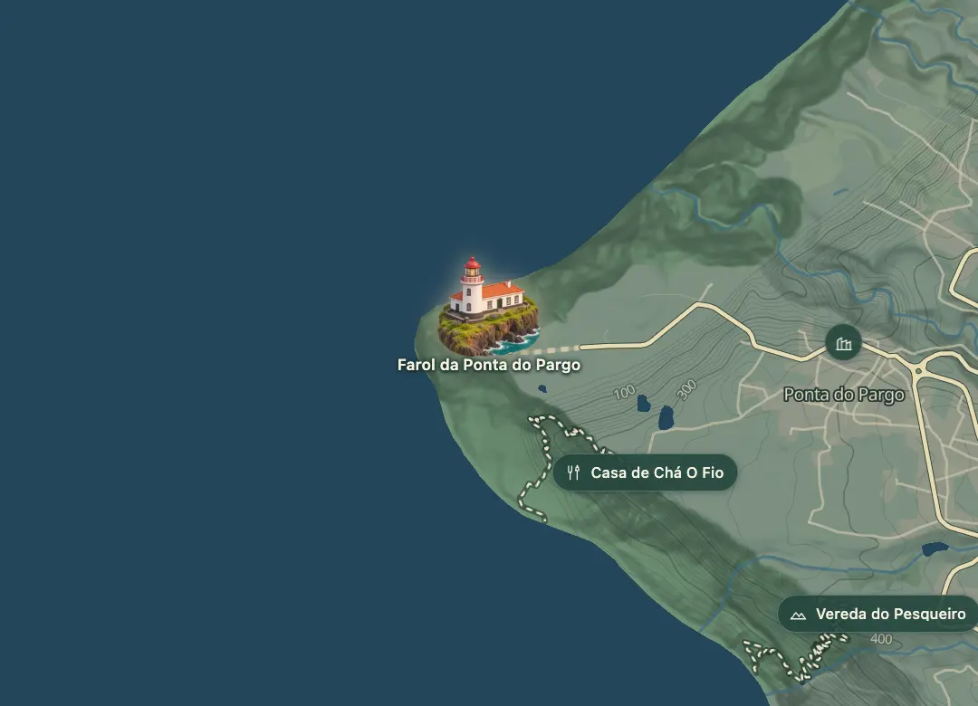
Ponta do Pargo is the westernmost tip of Madeira, and its 1922 lighthouse stands on Ponta Vigia, a cliff about 290 m above the sea. The tower is 14 m high and its light has a focal height of 312 m, with nothing but the Atlantic beyond. The lighthouse sits in the Calheta municipality on the west coast, and it is the last land before the open ocean to the west.
A lighthouse museum sits beside the tower and was created in 2001. The panoramic view over the Atlantic reaches out to the west, so the spot suits an evening visit for the sunset. Visitors reached the lighthouse in numbers in 2018, when 15,301 people came. The cliff top is exposed, so bring a layer even in summer.
When to come
Evening, for the sunset over the Atlantic, and a clear day for the widest view.
Getting there
The lighthouse sits in the Calheta municipality on the west coast; a map app with 32.8139 N, 17.2628 W finds the viewpoint.
Highlights
- The lighthouse stands on Ponta Vigia, a cliff about 290 m above the sea, at the westernmost tip of Madeira.
- The 1922 tower is 14 m high, with a focal height of 312 m.
- A lighthouse museum sits beside the tower and was created in 2001.
- The panoramic view over the Atlantic reaches out to the west, toward the sunset.
The view from here
Looking E
The horizon all round, measured on the island’s terrain. In sight: Calhau das Achadas da Cruz (0 m · 6.6 km, NE); Terça (938 m · 6 km, E); Fonte da Pedra (1,024 m · 6.6 km, E); Cabeço das Covas (915 m · 5.1 km, E); Bonito (1,074 m · 6.1 km, E); Fonte do Barro (1,167 m · 6.4 km, E); Passada Vermelha (1,092 m · 6.5 km, E); Coentros (1,247 m · 7.4 km, E); Melros (1,265 m · 7.5 km, SE); Achada Grande (1,194 m · 7.8 km, SE); Miradouro da Raposeira (600 m · 7.1 km, SE); Miradouro do Massapez (202 m · 5.3 km, SE).
Measured on the island’s terrain: what no nearer ridge hides · drag to look round
The light here today
- Sunrise
- —
- Sunset
- —
- Golden hour
- —
The view from here
What you see from here
Peaks, places and islands in sight from this spot, by the way they lie. The islands show on a clear day.
- NECalhau das Achadas da Cruz0 m · 6.6 km
- ETerça938 m · 6 km
- EFonte da Pedra1,024 m · 6.6 km
- ECabeço das Covas915 m · 5.1 km
- EBonito1,074 m · 6.1 km
- EFonte do Barro1,167 m · 6.4 km
- EPassada Vermelha1,092 m · 6.5 km
- ECoentros1,247 m · 7.4 km
- SEMelros1,265 m · 7.5 km
- SEAchada Grande1,194 m · 7.8 km
- SEMiradouro da Raposeira600 m · 7.1 km
- SEMiradouro do Massapez202 m · 5.3 km
Before you go
Safety
Weather: the cliff top is exposed, so bring a layer even in summer.
Worth knowing
Altitude: the cliff stands about 290 m above the sea.
Tower: 14 m high, with a focal height of 312 m.
Museum: a lighthouse museum beside the tower, created in 2001.
Visitors: 15,301 people came to the lighthouse in 2018.
Coordinates: 32.8139 N, 17.2628 W.